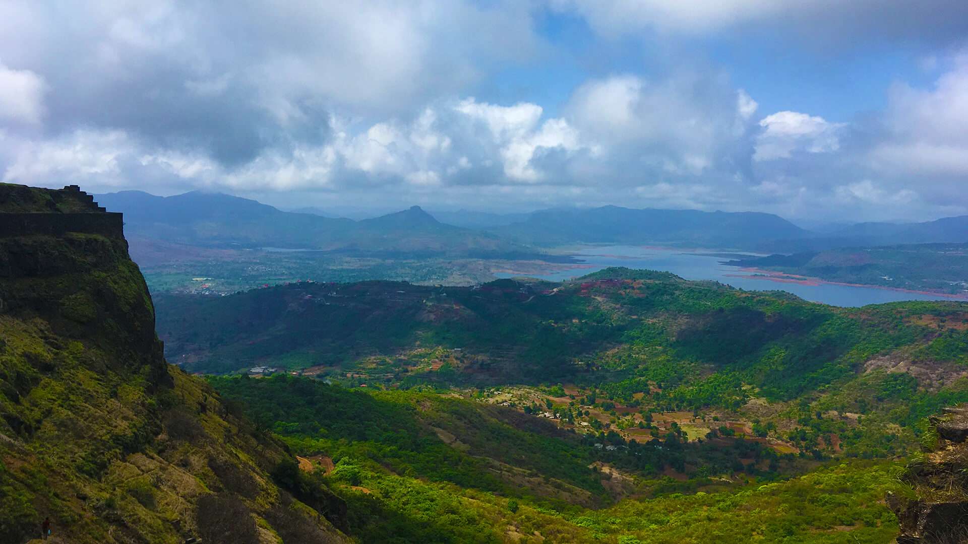
Nestled in the lap of the Sahyadri Mountain range in Maharashtra, Naneghat is a mountain pass that connects the Konkan sea coast with Junnar town in the Deccan. Situated at a height of 2,600 feet, Naneghat was once an important corridor link through the forests of Ghatghar between the important towns inland and the coastal region. Now, Naneghat is a much-loved and much-frequented route for the explorers and adventurers. The beauty of lush greens amidst patches of dusty terrain is the trademark of this region. Naneghat is no less than a treat to the eyes, soul, and to the adventure-seeking, nature-loving mind.
Most part of the fort has crumbled down, but a few of the inscriptions on the caves are still present that praise the rulers who built them. There are several reservoirs and water tanks around the place. The fort has many artificial caves and the Naneghat pass with gigantic rock walls on both sides. The other side of the pass is blessed with a Ganesha Temple and has a giant rock-cut pot that was used to collect coins from the traders passing by. The pinnacle of the fort is in the shape of a thumb which is famous as ‘Nancha Angtha.’
Best Time To Visit Naneghat
The best time to visit Naneghat is during the late monsoon as the mountain pass is full of waterfalls and after the monsoon, these waterfalls come alive.
History of Naneghat
The ancient Naneghat trek route is known to be in existence since the rule of the mighty Satavahana dynasty. ‘Nane’ means coin and ‘Ghat’ means pass, which means that the Naneghat pass was used to collect taxes from the traders who wish to cross the hill. Hence, it was one of the most important trade routes during 200 BC to 190 CE or the reign of Satavahanas, which used to connect seaports on the west coast like Thane, Sopara, and Kalyan with the major settlements like Junnar, Nasik, and Paithan. According to Charles Allen, a renowned historian, there is Buddhist Stupa-like carved stone on the route which was used to store the collected coins.
Major Attractions of Naneghat
At the end of the Naneghat trekking route, there is an ancient cave with inscriptions in Devanagari and Brahmi scripts believed to be older than 2,000 years. This gives evidence to prove the reign of the Satavahana dynasty over this region. After researching, archaeologists found that these inscriptions mention the rituals of Vedas and deities like Indra, Surya, Chandra, Yama, and Vasudeva or Krishna, and some historical information about the early rulers of the Satavahana dynasty. The researchers concluded that the cave was commissioned by a female, Satavahana Queen or Queen Mother, Naganika, the wife of Satakarni.
How To Reach Naneghat
Naneghat is closely located in the cities like Pune, Thane, and Mumbai and all of them are well-connected to the major cities of India via widespread networks of flights, trains, and roads. Here's how to reach reverse waterfall of Naneghat.
- Nearest metropolitan city. Mumbai
- Nearest airport. Pune International Airport
- Nearest railway station. Kalyan Railway Station
- Distance from Mumbai. 162 Kms
Get A Quick Itinerary With Circuit Planner Tool
By Rail
The nearest railhead from Naneghat is in Kalyan which is situated between Kasara rail line and Mumbai, and hence, it is well connected with Gujarat, north and south India. With the frequent availability of trains, one can reach Kalyan without any hassle.
- Distance from Kalyan. 121 Kms
By Air
There is no dedicated airbase in Naneghat but the nearest airport is in Pune. There are many airlines that fly frequent Gaya to Pune flights ticket Price from other cities of India and outside the country. One can cover the remaining distance by the means of public transport or private vehicles.
- Distance from Pune. 120 Kms
Here is a list of Indian cities from where flights are available To Reach Naneghat.
By Road
State and private buses ply regularly from the Kalyan state terminal to Ahmednagar. Tourists can easily catch a bus from here and reach Naneghat in no time.
Travel Tip
There is no official bus stop in Naneghat. So either keep an eye on the signboards or ask your bus conductor to inform you when you are about to reach.
Before going out for the trek, stock your bag with water and food as it goes through forests and there is nothing much for 2-2.5 hours of climbing and trekking.
Get Exciting Offers
Flights | Hotels | Tour Packages | Buses | Visa
Download App


